
Maybe you’ve noticed on a US ma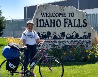 p a smiley-
As is turns out, the Snake River Valley was a key route along th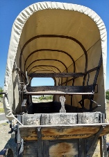 e Oregon Trail, over which more that a third of a million pioneers traveled during the mid-
The Snake Riv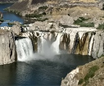 er Valley holds not only historical treasures, but scenic ones as well. The awesome Shoshone Falls is actually higher than Niagara. Near this point, Eval Kneavel (remember him?) unsuccessfully attempted to jump the valley in a rocket-
Ot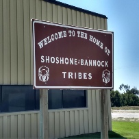 her fun things along the “trail” include the Three Islands Crossing State Park, which commemorates the most dangerous river crossing on the entire Oregon trail and features an extensive visitor’s center-
In Burley we happened upo n their county fair and rodeo. We had stopped at Rock’s cycling and fitness to replace Tom’s tire (cut in the sidewall), only to discover that it was closed. While we were hanging out outside the store, the owner happened by and kindly opened the store and even gave us a deep discount on the tire. So cool! He encouraged us to see the rodeo, which we thoroughly enjoyed. Nancy sat next to an elderly ex-
The Snake River is the life-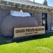 o. The actual terrain is high desert prairie, and we saw plenty of sagebrush along the way. But after the Idaho gold rush panned out, many turned to farming and extensively irrigated the surrounding countryside, turning the wilderness into fertile fields for wheat, corn and, you guessed it, potatoes! We stopped at a potato museum in Blackfoot and sampled the state crop at the adjacent cafe. Much better than store bought!
So far it sounds like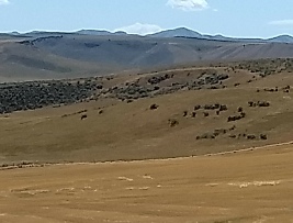 a breeze! Well, that all depends on which direction the breeze is from and how strong it is. When traveling Idaho, one has to choose between taking the 2000 foot decent by going East to West, or getting behind the prevailing westerly winds. Tom chose the former. At first it seemed we made a terrible mistake, since for the first two segments we fought 15 mph headwinds. Not fun. The next segment presented another challenge -
At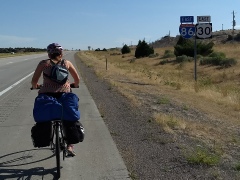 one point we wondered if our trip would end prematurely because of the heat and contrary winds, but there was a providential change in the weather, and for the next four days we had mild crosswinds, even a tailwind for a while. During this time we learned a great secret -
W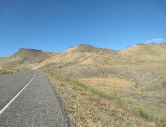 ell, the good times were not to last. Our last segment was to take us 45 miles from Mountain Home to Boise, from whence we would fly home. Tom’s navigation software and Google promised us roads that paralleled the expressway for nearly half the route, so we could avoid the busy Boise traffic whipping by at 80 mph. So far, so good. But the weather forecast was not so cheery -
What the weatherman forgot to mention was mo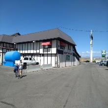 rning rain with hail, that thankfully was short-
W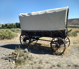 e had originally planned to tour Boise, but we used up all our extra time getting there, so that adventure will have to wait until another time. This was a fascinating, but more rigorous trip than the previous ones, but what else can you expect from the wild West? In the long run, the rugged scenery and interesting history made it worth the extra effort. We were retracing the steps of hundreds of thousands who went before us, some at the cost of their lives, who opened up the West for future generations. We learned a lot, too, about biking out West that will serve us well in future trips.
